GeoBIM
Ground investigation produces some of the most valuable information in civil engineering, and some of the least reusable. GeoBIM set out to change that inside a working engineering organisation.
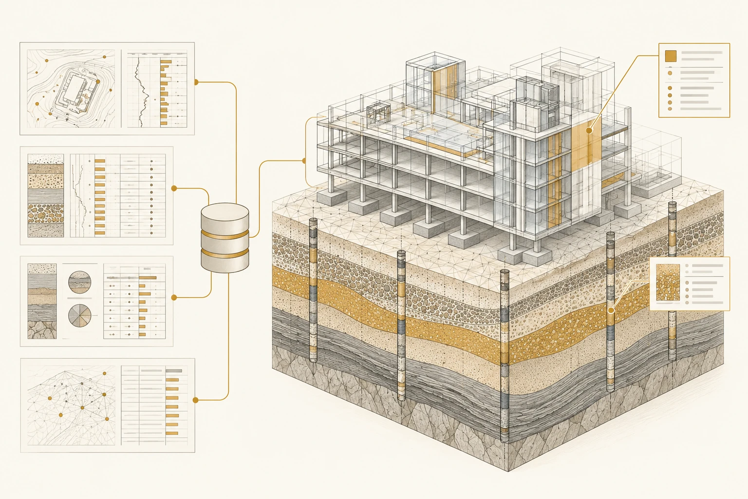
Ground data arrives from many sources, in many formats, and is often re-entered or re-interpreted for every new project. The information exists, but it rarely compounds. Each project starts closer to zero than it should.
Tousif designed the information structure behind the GeoBIM approach at Elea iC: naming rules that keep records findable, 29 ground-data templates with built-in validation so capture is consistent at the source, and a shared PostgreSQL database that gives the information a permanent, queryable home.
The practical value is continuity. Investigation records become engineering information that later projects can build on, rather than documents that later projects have to rediscover.
- Naming guidanceConsistent identification of ground-data records across projects.
- 29 template workbooksStructured capture with validation at the point of entry.
- Shared databaseA PostgreSQL store connecting capture with engineering exchange.